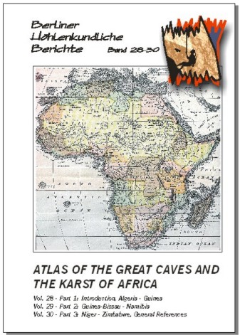
4-6 week delivery. 464 pages, zillions of cave descriptions, cave surveys and maps; Berlin 2008. Michael Laumanns. The "Yellow Pages" of caving in Africa. Each country is presented in detail including 3 maps (topography, geology and karst occurrences) as well as a description of the geological settings, the history of speleological exploration, a detailed list of the longest and deepest caves (incl. surveys), a list of useful addresses and an in-depth bibliography.Vol. 28 covers: Introduction & Algeria - Guinea (154 p.).Vol. 29 covers: Guinea-Bissau - Namibia (158 p.).Vol. 30 covers: Niger - Zimbabwe & General References (152 p.).In English language. With a German and French abstract in vol. 28. In 2002 the "Atlas of the Great Caves and the Karst of Africa" was released in this series (Laumanns 2002a, b, c). The atlas has been an unexpected success and I was surprised by the appreciation and support of the many readers. The atlas indeed became a speleological standard reference work that reached a reasonable distribution to serve for the further underground exploration of the "dark continent". You all have made this possible and it was a pleasure for me to experience that four years of in-depth literature research, writing, drawing, and extensive communication on a world"wide scale was not all in vain! Of course, speleological exploration continues steadily, which consequently rise the question whether the 2002 "Atlas of the Great Caves of Africa" shall be considered to be a one-time effort or shall lead to a continuous source for providing information on caves and karst of Africa. And, if the latter alternative is chosen, what would be the best way to continue? Intensive discussions with contributors resulted in a first and a second update of the "Africa Atlas" (Laumanns 2005; 2007). However, the amount of new information also led to many changes in country chapters that could not be included in the update volumes. Furthermore a third update would have scattered the data creating a lack of overview. Consequently, it was decided to release a second edition of the Atlas. In case experts on a specific country will detect inconsistencies or faults in a specific country chapter they are hearty invited to contact the author to provide for amendments. The "Atlas of the Great Caves and the Karst of Africa", is based on the "Atlas of the Great Caves of the World" (Courbon et al. 1989), and on the "Atlas des cavites non calcaires du monde" (Chubert & Courbon 1997). A lot of geological and tectonic information has been gathered from the excellent publication "Limestone and Dolomite Resources of Africa" (Bosse et al. 1996), which is a unique source of knowledge on African carbonate rocks (ISSN 0341-6429, available from the Bundesanstalt fur Geowissenschaften und Rohstoffe, POB 510153, D -- 30631 Hannover). For the 2nd update a brilliant publication by P. Van Straaten (2002) -- called "Rocks for Crops: Agrominerals of Subsaharan Africa" -- was also used to locate possible limestone and dolomite occurrences. The latter publication also mentions many bat guano deposits directly linked to caves. Furthermore a "Geological Atlas of Africa" has been published by Schluter (2006), which will be used for future updates of the "Atlas of the Great Caves and the Karst of Africa". The Speleological Abstracts, published annually by the UIS, served as source for publications after 1980. Furthermore, valuable information on the latest French speleological campaigns in African countries was taken from the annual reports of the "Commission des relations et expeditions internationales" (CREI) published by the Federation Francaise de Speleologie. In the reference lists the articles that have been seen by the author are printed in italic letters. All north direction arrows on the cave maps refer to magnetic north. Inquire for individual volumes.
69 pages + foldable maps, colour photo tables, numerous maps & surveys; Berlin 2006. Peter De Geest (ed.). Report of six Belgian speleological expeditions to the island of Soqotra, which so far have yielded 22.7 km of passages from 28 caves -- including Giniba Cave at 7.5 km. With many cave maps and detailed chapters on the investigations on biospeleology, archaeology and spelaothem dating. In English language with abstracts in French, German, Dutch as well as in Arabic. This volume presents a summary of the Soqotra Karst Project (SKP) -- an ongoing multidisciplinary speleological investigation, focused on the island of Soqotra (Yemen). Palaeoclimate, biospeleological, archaeological and sustainable development studies are being conducted by Belgian experts in close co-operation with several Yemeni and other international project partners. This report is based on the recent "Soqotra Karst Project 2000-2004" (SKP 2005) publication that has been primarily released in Dutch and covers the six expeditions made by the SKP to Soqotra Island through Deceuber 2004. Since the first visits in 2000, a total of 28 caves have been mapped yielding 22,707 m of passageway. The longest cave explored so far is Giniba Cave at 7.5 km, while the deepest is Pit Cave (-145 m). Twelve more caves were visited but not surveyed, however three of them were sketched. Some of the caves provide significant freshwater resources. The scientific achievements with regard to spelaothem dating are briefly explained, together with the biospeleological discoveries and intriguing archaeological remains found underground.
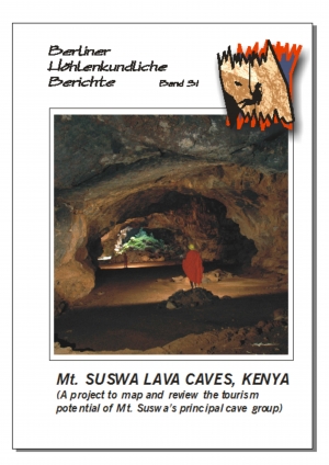
51 pages, cave descriptions, cave surveys and maps, full color print; Berlin 2008. David Checkley (Ed.) A comprehensive report setting the standard on the sustainable use of caves for tourism in developing countries. Includes an in-depth geological and spelaogenetical description as well as a plentiful of photographs illustrating possible guided trips through this impressive lava caves, and costing tables for making the caves accessible to tourists. In English language with an abstract in French and German. This report describes the extensive lava tube caves of Mt. Suswa, a dormant volcano in the Eastern Rift Valley of Kenya, known locally as "Oldoinyo Nyokie" -- The Red Mountain. It is the result of a project carried out in June 2007 to map, photograph and outline a strategy for turning selected caves into show caves to attract visiting tourists. It contains detailed cave surveys, cave descriptions and colour photographs, with costed outline engineering plans for the initial development of individual caves. Background information is also provided on the history and exploration of the caves, the geology of the area and the thinking behind the tourism initiative by the indigenous Maasai community, to develop Mt. Suswa as a visitor attraction. Detailed descriptive tours through the caves are also provided, to form the basis of interpretive tours by local cave guides in the future.
67 pages, maps & surveys; Berlin 2005. Herbert Daniel Gebauer. The whole Northwest of India is dealt with in this volume. 129 caves, some man-made caverns and wells are described in detail. Many cave surveys. 15 pages of bibliographical references, a glossary and about 170 footnotes. In English language. Special Order.
Price: $25.00
Get in touch
Questions about an order, a title, or whether we carry something specific? We're happy to help.