
For the geology behind a Mammoth Cave visit, start with Geology of the Mammoth Cave National Park Area, by Ann Livesay, revised by Preston McGrain in 1962. It was written for visitors asking how the cave formed. Sinkholes, the sandstone caprock and underground drainage are explained alongside diagrams showing the deepening of the Green River valley.
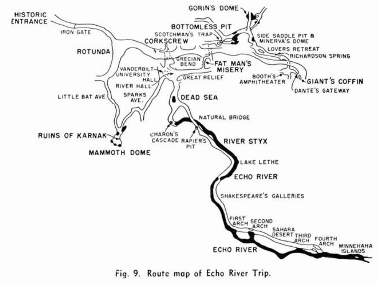
There is another reason to choose this edition: its visitor-route diagrams. Echo River appears on page 24, Frozen Niagara on page 26 and the Historic route on page 30; the All-day and Scenic routes follow on pages 36–37. That makes it useful for someone interested in the history of touring Mammoth Cave as well as its geology. Read those diagrams as a record of the routes presented in 1962, rather than instructions for a trip today. See the original booklet.
For Carter and Cascade Caves, choose the separate Geology of the Carter and Cascade Caves Region. Its 1966 date needs a little explanation: the Kentucky Geological Survey bibliography identifies this 32-page work by McGrain as a reprint, with minor revisions, of his 1954 publication. If you already own the 1954 booklet, the 1966 printing is a reprint with minor revisions.