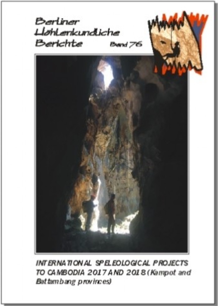
Featured Books & Gifts - pg. 11 including International Speleological Projects to Cambodia 2017 and 2018 (Kampot and Battambang provinces) BHB Volume 76
78 pp., colour photo tables, many maps & surveys; Berlin 2018. This volume presents a 2017 US expedition to Kampot Province in southern Cambodia as well as an international expedition in 2018, which continued the 2017 investigations in Phnum Proek District (Battambang Province). Sixty-two new caves and 9.9 km of passages were mapped, including the new third longest cave of Cambodia (Roung Heyndan 5 at 1,577 m). Roung Dei Ho-Thom Ken was extended and again became the longest of the country (2,036 m). The biospeleological findings of the 2018 expedition are also presented. In English with a German and a French abstract.
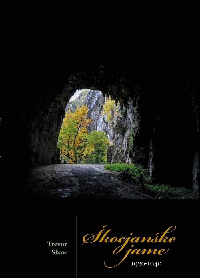
By Trevor Shaw, 2018. The cave Škocjanske jame has a long history of which the relatively short period between the two World Wars is the subject of this book. The area had just been transferred from Austria to Italy. Most of the cave had been explored before 1914 so the objective in the 1920s and 1930s was mainly to develop it as a tourist cave. Visitors had been accepted earlier but the emphasis now shifted to developing the tourist route through the cave, with new bridges and pathways as well as a new tunnel to the surface. The need for all arrangements to be formalized under Italian law caused problems and the re-opening of the cave to the public was delayed until 1923. Besides this development work, some exploration took place, new surveys were made and there were scientific studies. A little-know fatal accident is reported. Throughout the whole period the personalities of the individual guides, explorers and managers lead to a very human story as well as an exciting one. What helps to make this book so significant is the immense input from Italian archives, archivists and historians.
Preface
Acknowledgements
1 Introduction 2 Problems of Changing Nationality 3 Development as a Tourist Cave in the 1920s 4 Further developments, in the 1930s 5 Exploration by Austrians in 1921 & 1922 6 Federico Prez in 1922 7 Bertarelli’s Exploration in 1923 8 Surveying in Škocjanske jame 9 Images of the Cave – Models, Paintings & Photographs 10 Postal System and Postcards
Appendix: Equivalent Place-Names in Italian, German & Slovene
The karst regions of Slovenia, like those in many other parts of the world, result from the rock being limestone which is slightly soluble in rainwater. This not only causes a lack of surface streams and the presence of caves and underground rivers, but also other features characteristic of karstic landscape. In particular, solution of intersecting fissures in the rock results in cone-shaped depressions – dolines – in which some residual soil collects, and more is sometimes added by farmers to allow cultivation. Bigger, often vertical-sided depressions called collapse dolines result when the ground surface collapses into caves or cavities formed by underground streams. Collapse dolines include the immense pits at Škocjanske jame.
What is unusual about Slovenia is the amount of karst terrain that it contains. 43% of the whole country is karst; and of the part of Slovenia which was the old Austrian region of Carniola or Krain (Gorenjska, Dolenjska and Notranjska, including the Postojna area), 69% is karst.
The caves and spectacular features of karst have for centuries appealed to visitors and travellers, as they do to tourists today. For much the same reasons they have appealed to artists whose desire was to capture the scenes for themselves and for posterity.
Over the last two centuries or so we have become more and more accustomed to images of the real world. In modern times natural history films have become almost a substitute for the real thing. Personal cameras record what we have seen, sometimes more reliably than our memories, and magazines as well as television provide accurate pictorial information.
But it was not always so. Some five and a half centuries ago, printed books began to appear, providing information for those who could read. At first very few were illustrated, but about 430 years ago Valvasor was already producing his book on the castles of the province of Krain, illustrated with copper engravings; and ten years later, in 1689, there appeared his great topographical book on Krain, containing 535 illustrations. Painters of course did not depend on books to have their paintings displayed. But in later times their work was reproduced in books and reached a much wider audience.
At the same time, as technical developments made such reproduction easier and cheaper, the population increasingly learned to read. Poverty overall reduced and more people were able to enjoy leisure. This, with education, allowed them to use books and to see pictures other than those in the stained glass windows of churches.
This broadening of the kinds of readers, as well as an increase in their numbers, led quite early in the 19th century – only two centuries ago now – to the appearance of popular illustrated books aiming to arouse and satisfy curiosity. Titles such as The Wonders of Nature and Art (1803) and The Hundred Wonders of the World (1818) make this clear. Such books often include cave descriptions, many of them illustrated, and it was in this way that people living in non-karst regions became aware of the existence of caves.
So much for generalizations and context. What did all the images aim to do? One or more of the following, surely: to express the impressions, emotions and feelings of the artist; to inform people about caves and karst features; to give pleasure, by beautiful paintings or by luxurious albums of engravings; to illustrate texts (travel books, regional descriptions and guidebooks, scientific studies, accounts of cave exploration, historical studies, studies of cave images); to publicise particular caves and to advertise an unrelated product by an attractive picture.
Whilst scientific or geographical studies may require images of little-known caves or phenomena, it is clear from the content of this book that certain caves were more often the subject for artists and photographers than others. Several factors are responsible for this. Clearly an attractive cave, as the very word denotes, attracts more attention. A picturesque scene attracts pictures. And such pictures attract purchasers.
Also relevant is the extent to which the cave or place is already known. The better known places will be visited by more artists and photographers, and by more potential purchasers. Purchases, of course, include not only individual images but also illustrated guidebooks.
Another factor besides picturesque beauty affected this popularity of a place, especially before the motor car became widely available. That was its location and ease of access for large numbers of people. For Slovenia, many potential visitors were to be found at Trieste (as a major part where they waited for their ships) and on the main routes such as the vital road from central Europe through Postojna to the coast. Hence the popularity of Vilenica, Škocjanske jame and Postojnska jama. They attracted the artists and photographers, and they also attracted the visitors who would buy their productions.
Among the many cave images known, some (only a few, but nevertheless some) do provide information that is historically important. Dress is necessarily shown wherever there are people. That of the visitors is normal for the period and sometimes it is the dress that helps to date the image. Images of cave entrances necessarily record whatever barriers, gates, seats or buildings that were present at the time.
The earliest images of karst features occurred on 16th century maps, where the land was represented, not by accurately surveyed rivers, roads and contour lines, but by pictorial representations. Some of these were symbolic, such as trees for forests and little hills for mountainous county. But special features (and Cerkniško jezero was certainly considered very special) were drawn individually and the space required for this gave them extra prominence.
Individual pictures were sold for display, as indeed they still are. Such engravings were sometimes published together in albums, with or without text, as fore-runners of modern coffee-table books. The emphasis there was on attractive images, whereas later in the century pictures were used to illustrate points made in the text, for example in the books of Martel and Kraus or to illustrate places described in guidebooks.
Engravings, where the artist’s image was redrawn by the engraver on a metal plate (or lithographs where it was redrawn in stone) were still used to illustrate books and magazines up the 1890s. In that period the “artist’s image" to be engraved was often a photograph. Only when the half-tone process was developed in the 1880s, was it possible for photos to be transferred mechanically to paper in large quantities without an intermediate process.
In those earlier days (1870s to 1890s) photographs were usually engraved for publication. But the reverse also occurred. Photographers realized that cave pictures were saleable, but they found also that they were very difficult to take.
Copying was not only done to facilitate reproduction of images. It also occurred, without acknowledgement, when the easiest source for a new (saleable) illustration was an earlier one. In book publication (and ship capture) this is termed piracy. It was common in the 19th century and several examples are exposed in this book.
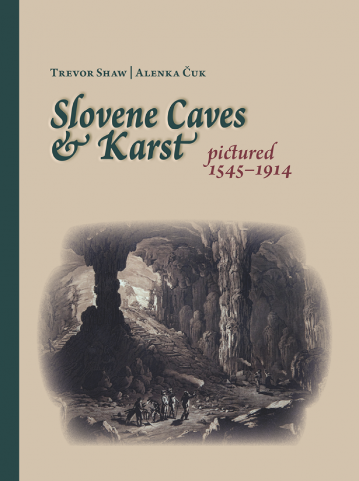
Of course, cave images of quality continued to be made after the cut-off date for this book – the start of World War I and the end of Slovenia’s time as part of Austria. Photographers include Friedrich Oedl (1894-1969) at Škocjanske jame in 1921, Franci Bar (1901-1988) in many caves, and several members of the Društvo za raziskavanje podzemskih jam. All those photographers were cave explorers themselves. Painters of this later period include Leo Vilhar (1899-1971); Mario Vilhar, his son (born 1925), and Lojze Perko (1909-1980). By Trevor Shaw and Alenka Cuk, 2012.
21 by 21 inch bandanna with a flight of custom printed bats. 100% cotton. Use for decoration, full head scarf, halter tops, quilt fabric or even dress your favorite pet! Assorted colors will be a mixture of colors & styles.
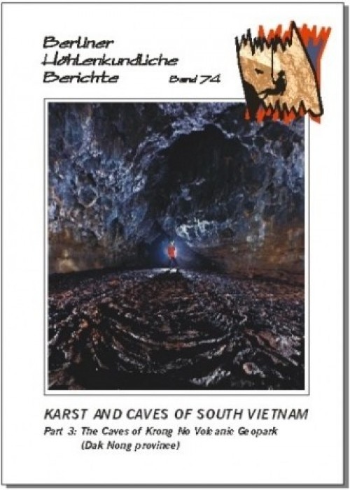
70 pp., colour photo tables and maps, many surveys; Berlin 2018. The Krong No Volcanic Geopark hosts the longest lava cave of SE Asia (C7 Cave at 1,067 m) and also most of the other long pyroducts of SE Asia. This volume compiles all the caves known from the Geopark to date and describes 49 caves with a total of passages of 10.1 km. There are also biospeleological remarks, an up-to-date summary on the speleogenesis of lava caves and a chapter on the archaeology of the Krong No caves. In English, with a Vietnamese, French, and German abstract.
21 by 21 inch bandanna with a flight of custom printed bats. 100% cotton. Use for decoration, full head scarf, halter tops, quilt fabric or even dress your favorite pet! Assorted colors will be a mixture of colors & styles.
21 by 21 inch bandanna with a flight of custom printed bats. 100% cotton. Use for decoration, full head scarf, halter tops, quilt fabric or even dress your favorite pet! Assorted colors will be a mixture of colors & styles.
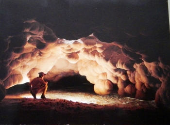
The Natural Bridges have become one of the most popular attractions of California's Calaveras County. These two caves were formed by a process distinctly different from most caves, as chronicled in the chapter by Geologist Bruce Rogers, and shown on detailed surveys made by the first two authors. They have been attracting visitors since the days of the Gold Rush, and the fascinating history of those days of yore are chronicled in a historical writeup by historian Daniel Snyder, complete with rare illustrations of the Bridges. The main section consists of over 60 full color images of the Bridges taken by Dave Bunnell, a professional cave photographer, who resides in the local area. Many of these full page images use multiple flash techniques to fully illuminate the dark interiors of the caves. A three-page guide to the Spring flowers found along the trail rounds out the book. By David Bunnell, Daniel Snyder and Bruce Rogers. SB, 72 pp.
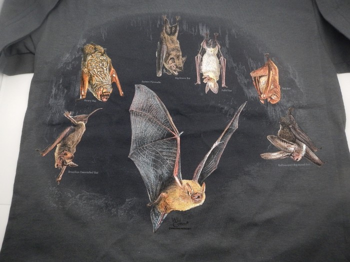
We put bat species in the spotlight with these beautifully screen printed shirts. Each species featured in the series is shown on a dashboard with information on diet, weight, lifespan, range and the scientific name. On 100% cotton preshrunk tee shirts. Large front design. The Pallid Bat (Antrozous Pallidus) is on a charcoal grey shirt.
96 pp., colour photo tables, many maps & surveys; Berlin 2017.
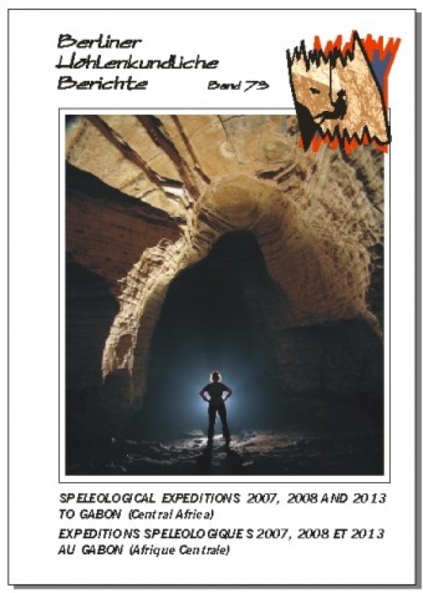
This volume replaces volumes 36 and 62 of this series. About 50 caves with a total of nearly 8 km of passages are presented in detail. Includes the Mbenaltembe Cave System, at 2,380 m the currently longest cave of Gabon. Also, a presumably old rock art cave site is described. In English and French, with a German abstract.
101 pp., colour photo tables, many maps & surveys; Berlin 2017.
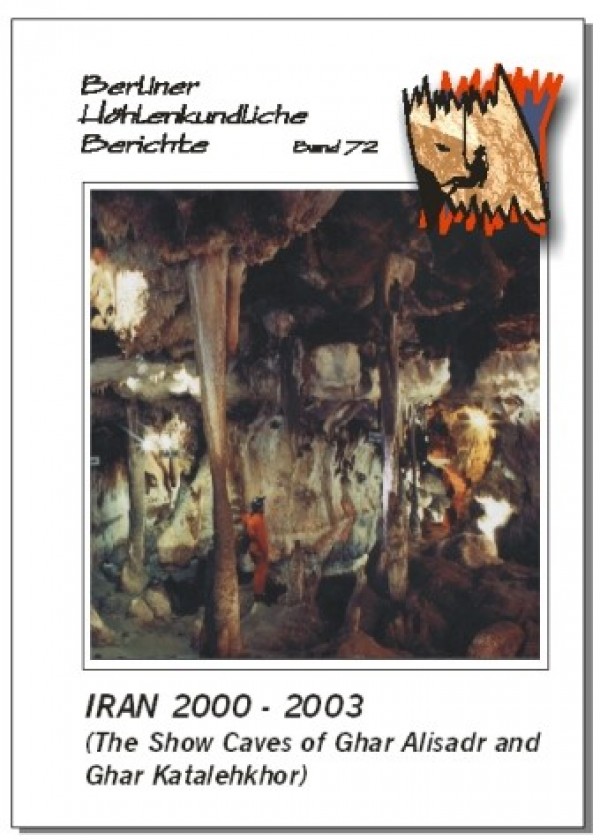
This volume replaces volumes 6 and 12 of this series and describes the longest caves known in Iran so far. Ghar Katalehkhor is featured with a detailed survey showing 12,860 m. The same applies to Ghar Alisadr (11,440 m) which is one of the most visited show caves in the world. A number of caves in the surroundings of Ghar Alisadr are also described. In English.
Michael Laumanns: 125 pp., colour photo tables, many maps & surveys; Berlin 2017.
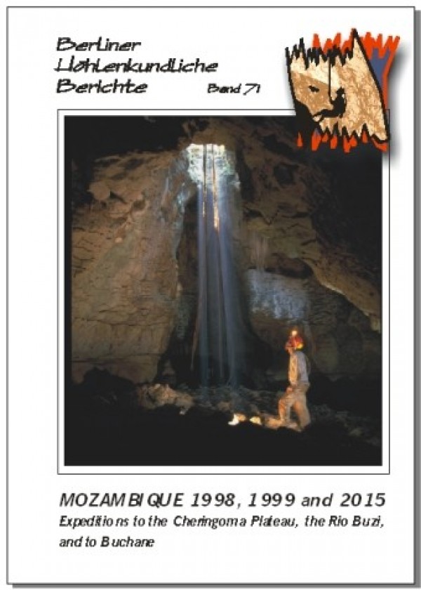
This volume replaces volumes 2, 3 and 62 of this series. About 100 caves with a total of 10 km of passages are presented in detail. This is the only comprehensive source of speleological data on Mozambique. Longest cave is Codzo River Cave at 942 m. In English with a German, Portuguese and French abstract.
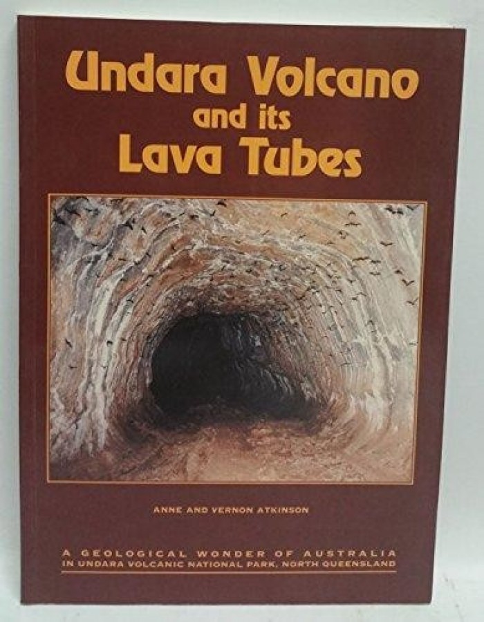
1995 by Anne and Vernon Atkinson. With a supplement on Hawaiian Volcanoes which illustrate some of the features from Undara. Many photos and illustrations.
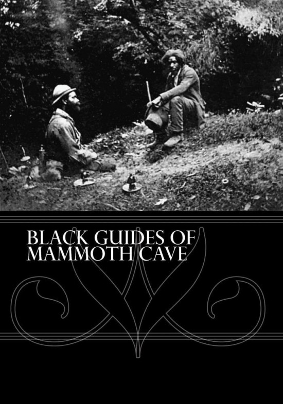
53 Minute DVD, 2017. Produced by Edward Frank and Phoebe Freer. In 1838 three slaves were brought to Mammoth Cave to work as guides: Stephen Bishop, Materson Bransford, and Nick Bransford. Stephen Bishop became the greatest American Cave explorer who ever lived. He crossed what was known as the Bottomless Pit and discovered tens of miles of new passage in what is known now as the longest cave in the world. The trio spent a lifetime leading tours and exploring new passages in the cave. Many other black individuals have made major contributions to the history of the cave over the years. Leading tours in the cave and exploration became a family tradition for generations of guides both black and white. For example, the Bransford family has had five generations work as guides in the cave from Mat Bransford, one of the original three slave guides, to his great great grandson and present day guide Jerry Bransford. This is their story.
83 pp., colour photo tables, many maps & surveys; Berlin 2017. Michael Laumanns & Nancy Pistole (Eds.): International Speleological Project to Cambodia 2017 (Provinces of Siem Reap, Banteay Meanchey, Odda Meanchey and Battambang). The first systematic speleological investigations in the Cambodian province of Siem Reap (Phnom Kulen National Park). New longest cave of Cambodia, La Ang Khchal (1,960 m) near the Thai border in Battambang province. Altogether 8.1 km of cave passages from 54 caves are presented in detail. In English with a German and a French abstract.
362 pages, zillions of cave descriptions, cave surveys and maps; Berlin 2017. The "Yellow Pages" of caving in Africa. New longest cave of Africa. Each country is presented in detail including maps (e.g. topography, geology and karst occurrences) as well as a description of the geological settings, the history of speleological exploration, a detailed list of the longest and deepest caves (incl. surveys), a list of useful addresses and an in-depth bibliography. Vol. 68 covers: Introduction and Algeria to Madagascar (184 p.). Vol. 69 covers: Malawi to Zimbabwe and General Ref's (178 p.). In English. With German & French abstracts in vol. 68.
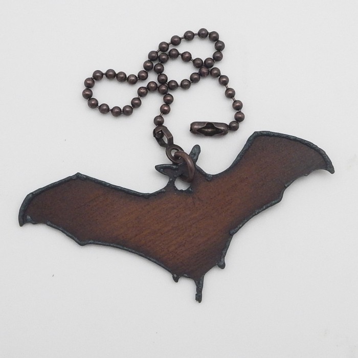
Bat outline in cut metal with smooth rust colored "rustic" finish. Three and three quarter inch wingspan. With a matching eight inch chain and connetor.
A set of 9 images on glossy five by seven inch note cards. Blank inside. Inconic images from various artists produced by Urs Widmer for Speleo Projects. Sold as 10 packs with nine images different cards plus one duplicate image. These do not come with envelopes. The cards take a standard A7 5 1/4 by 7 1/4 envelop.
A high quality 100% cotton pre-shrunk t-shirt. Seven realistically illustrated, colorful North American bats together: Brazillian Free-tailed Bat, Hoary Bat, Eastern Pipistrelle (Tri-colored bat), Big Brown Bat, Pallid Bat, Red Bat and Rafinesque's Big-eared Bat.
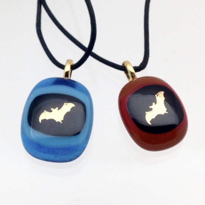
Each pendant is handmade using various colors of glass and feature a central bat set on a black background made of 22 karat gold. The cord lenth is approximately 18 inches and features a coordinated clasp. Offered in two basic glass colors, brown or blue. Each slightly different, some have other accent colors. Examples shown are typical but every pendant varies.
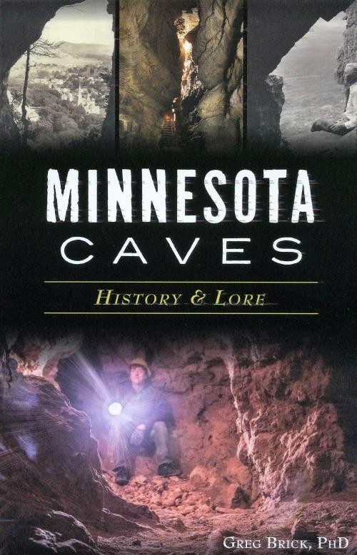
Minnesota's caves have a deep history. Carver's Cave is the first to be described in the literature of North America after explorer Jonathan Carver visited it in 1766. The storied Fountain Cave was the birthplace of the city of St Paul.
Just after the American Civil War, Chute's Cave inspired an elaborate hoax regarding an ancient civilization. Folklore surrounds Petrified Indian Cave, where a strangely shaped stalagmite was mistaken for a person turned to stone. Geologist Greg Brick, PhD, uses decades of research to uncover the secrets of geological wonders. 145PP & BW images.
By John Benton, Bill Napper, Bob Thompson. 202 black And white images. 128pp. Sb. Collins was a Kentucky cave explorer who was trapped for more than two weeks during the winter of 1925 in a cave located within the boundaries of what is now Mammoth Cave National Park. Collins had no fear of exploring the most difficult cave passages, and few people could match his persistence and endurance. The story of Floyd Collins becoming trapped, then buried alive, and ultimately dying alone in a cave held a powerful grip on the hearts and minds of people the world over. The resulting media coverage put Mammoth Cave on the map and helped usher the actual designation of Mammoth Cave as a national park.
Edited by: Howard P. Whidden (East Stroudsburg University), DeeAnn Reeder (Bucknell University), with Cal Butchkoski and Greg Turner (Pennsylvania Game Commission). Pennsylvania has long been an active center of research on bats, and in recent years Pennsylvania biologists have played leading roles in responding to the emergence of wind turbinesand White-nose Syndrome as major new threats to bats. This volume takes stock of the status of Pennsylvania's bats at a time of conservation crisis. Chapters in the book describe the natural history of Pennsylvania's bats, the history of bat research in the state, summarize long-term data on the state's bats, assess the recent impacts of wind turbines and White-nose Syndrome on the state's bats, and provide guidelines for future conservation efforts aimed at protecting and managing the state's bats. A compilation of work worth reviewing and having for reference in many areas outside Pennsylvania with similar species of bats and common issues related to the bats conservation and ecology covered. If one or more of these guides are ordered alone, total shipping charge will be $3.50. Quoted shipping (as shown on your shopping cart) will apply if combined with other goods. Otherwise, the actual shipping charge made to your card will be reduced when your order is filled and charged.
97 pp., colour photo tables, many maps & surveys; Berlin 2016. The first systematic speleological investigations in the Cambodian provinces of Stoeng Treng, Banteay Meanchey and Kampong Speu. Also describes 2 caves from a briefly visited new caving area in NE Battambang near the Thai border. Seventy-four new caves and one presumably old rock-art site (altogether 4.6 km of cave passages) are presented in detail. Includes an up-to-date article on cave bat conservation in Cambodia. In English with a German and a French abstract.
By Michael Laumanns & Liz Price. 335 pages, hundreds of cave descriptions, cave surveys and maps; Berlin 2016.
The "Yellow Pages" of caving in SE Asia. Each country is presented in detail including topographic and karst occurrence maps as well as a description of the geological settings, the history of speleological exploration, a detailed list of the longest and deepest caves (incl. surveys), a list of useful addresses and an in-depth bibliography. Hundreds of cave surveys and cave descriptions. Some countries also have maps showing the administrative divisions and other relevant thematic maps. Vol. 65 covers: Introduction & Brunei-Malaysia (168 p.). Vol. 66 covers: Myanmar-Vietnam (167 p.). In English. With German and French abstracts.
Price: $50.00
Visit Batgoods.com for an expanded selection of bat merchandise, where 5% of every sale can be donated to your choice of several bat conservation organizations.