Hawaii Caving Travelogue 2010
From the Desert of Kau Santiago Chile and Beyond
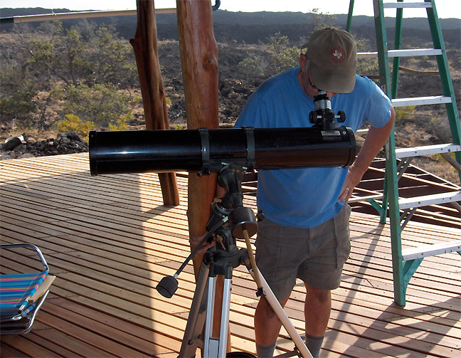
We woke this morning to the odd sound of the Tsunami sirens going off. We are not near Hilo, but are sitting at about 1100 feet elevation at Don and Barb's watching Pohue bay through binoculars. If the forecast 8-10 foot wave(s) reach Hilo in an hour the sea wall with not help and downtown will get wet. Not much we can do but sit and watch. Tsunami planning is very extensive here. This threat was about the same strength and from the same direction that caused the significant 1960 event in Hilo.
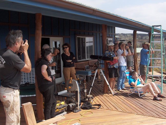
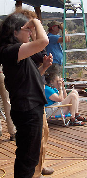
I am sure you have all heard by now that Hawaii is still above water. The Tsunami crested at about 3 feet maximum surge on the 3rd or 4th wave this afternoon in Hilo. This was not enough to cause any flooding. Here we all are watching from a VERY safe distance. It still was very chilling to see the action of the ocean at Pohue Bay. This shot was taken as we noticed that our vantage did give some view of the event after all. Morning surf was running at about 5 feet, and was very distinct to the eye from our distance. At the time of the first wave wrapping around our part of the island, the surface of the water became very calm for several minutes. About 20 minutes later, at the time of the next Tsunami wave, the same effect occurred. From our distance, there was no telling if any beach surge happened here. Greatest effect was most likely to be in Hilo. Nothing more to report than an impromptu Tsunami party with neighbors featuring fresh tsunami banana bread baked by Emily.
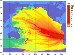
This diagram shows the intensity of the tsunami wave eminating from chile. Hawaii missed the "red" zone by a few degrees. A "direct hit" likely would have meant disaster for Hilo and other areas in the Hawaiian Islands. Thanks to Art Palmer for forwarding this to us here.